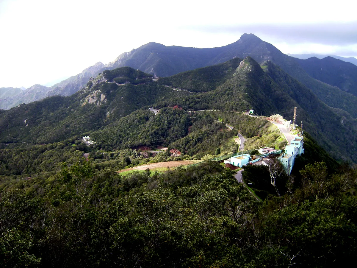
At 700m altitude, at the crossroads of the routes crisscrossing the Anaga Rural Park, Mirador El Bailadero is the first real visual shock of the massif. On one side, Tenerife's northeast coast plunges into the Atlantic, green cliffs, white villages clinging to the slopes, turquoise sea. On the other, the laurel forest stretches endlessly into the mist. And below, Taganana, one of the island's most remote villages, looks miniature nestled in its mountain cradle.
The trick: Arrive between 8am and 10am for the sea of clouds, the Anaga forest emerges from the fog in a spectacle lasting 30 to 45 minutes before the sun dispels everything. One of the most photographed moments in Tenerife, and hardly anyone is there.
The name comes from the Spanish bailar (to dance). According to Canarian tradition, the guanches, Tenerife's prehistoric inhabitants, gathered here to dance during ritual ceremonies. The crossroads also served as a meeting point between communities from different Anaga valleys. Today, it's the starting point for several major hiking trails in the massif.
The trade winds constantly push humid clouds from the northeast against the Anaga peaks. These clouds accumulate between 600 and 900m altitude, forming a "sea" that covers the northern slopes while the south remains sunny. In the morning, before the sun warms the air, this phenomenon is at its peak.
From Mirador El Bailadero, during sea of clouds conditions, you literally see clouds rolling over the ridges and descending into the valleys like a slow liquid. The laurel forest emerges above, lit by the sun, a fairytale setting.